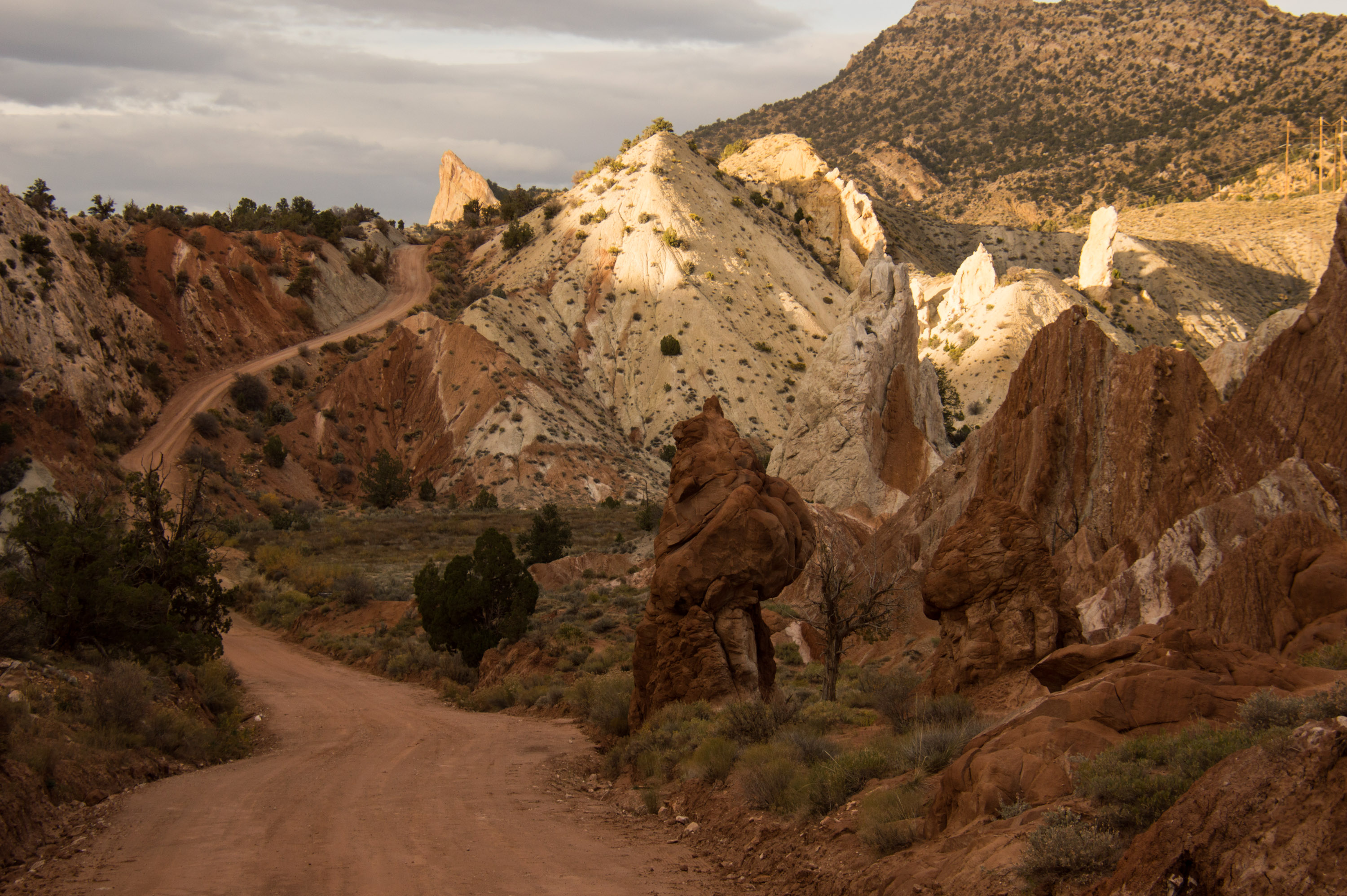
I took this photo: The surface and what lies beneath
Twilight on the surface
The main stem of the Columbia River has 14 dams on it, including the largest dam in the United States. Within the entire Columbia basin, more than 400 dams generate almost half of the hydropower in the US.
Ship locks at several dams and channel dredging allow navigation from the Pacific Ocean to Lewiston, Idaho – more than 400 miles inland.
In the late 1800s, half a million salmon were caught for canning and export in one season. Today four of the 400 dams have fish ladders.
The river irrigates 670,000 acres of sagebrush desert in Washington. As many as 100 illegal dams on private property irrigate an unknown number of additional acres.
Hanford, a Cold War plutonium production site, is the most contaminated nuclear site in the US. For 27 years radioactive cooling water from the eight plutonium production reactors was released back into the Columbia River. The federal government did not disclose this information until more than a decade after the discharge ceased.
Today, an estimated 270 billion gallons of groundwater have been contaminated by high-level nuclear waste that leaked from Hanford’s storage tanks. A million-gallon plume of that radioactive groundwater is expected to hit the Columbia River within the next 10 years at the earliest and 50 years at the latest.
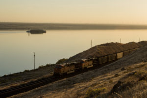
I took this photo in the fading evening light of a typical Columbia River day. Train tracks, carrying coal and oil trains, parallel both banks; grain and coal barges ply its waters; Interstate 84 flanks its south shore; thousands of wind turbines, just visible on the far shore, stand sentinel to the north and south; the slow, warm, slack water impounded behind another dam holds fish that can’t move downstream fast enough and can’t move upstream at all; the final ingredient in the cocktail is three decades of nuclear waste in the water and sediments. The calm water and the pastel light are a lovely façade on a tenacious, living body of water that miraculously continues to survive.